Long Sunday training run over the Howgills
Essential stats
| Distance: | 38.3km |
| Time: | 5h 42min |
| Elevation gain: | 1486m |
| Profile: | 39m per km |
| Avg speed: | 6.7km/hr |
Reflections
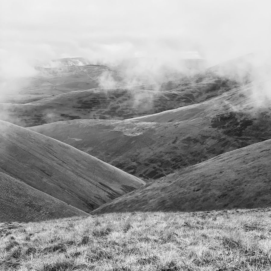
This was a three-trig run: the top of Winder; over The Calf; and then back up to Green Bell once I had been north up to the edge of the A685 that marks the northern edge of the Howgills. There are only four trigs in the central Howgills area — Winder and The Calf see plenty of traffic but the others not so much. The one not visited this time is Middleton, a very rarely frequented trig point (OS grid: NY 653 013) north-east (ish) from Carlin Gill. I’ll save the four-trig Howgills effort for another day.
My longer runs so far have involved some flatter ground with obvious paths and I wanted something with a little more in the way of rough ground. Preferably without going mad in terms of ascent/descent. This fitted the bill nicely. There are good paths from Winder over to The Calf but once past there and heading north down the ridge that forms the western boundary of Bowderdale it is rough and often boggy ground. The path is a meagre thing, barely discernible, on that section and the climb back to Green Bell is almost 4k and pretty much pathless. Ideal.
A key feature that I wanted was that there wasn’t too much climbing. It’s good for leg strength but it’s not terribly specific to CWU. The worse day on CWU is about 37m/km and this run had just a little more than that.
The weather was mild, a little cold on the tops, but I was fine in just a pair of shorts, my merino long-sleeved thermal, and a technical T-shirt. I was carrying full kit in my Ultimate Direction Fastback 20. No poles! More on that another time. I did wear gloves for almost the whole run, only dispensing with them for the last few kilometres when I was almost home and low down.